Confederation Trail
273 km, tip to tip, never steeper than 2%
Built on PEI's decommissioned rail line, the Confederation Trail runs Tignish to Elmira with branch trails into Charlottetown — a flat, crushed-stone route for walkers and cyclists of any fitness level.

- Main trail length
- 273 km, Tignish to Elmira
- Total incl. branches
- 449 km across the island
- Grade
- Never exceeds 2%
The route
A rail line turned trail
The main Confederation Trail runs west to east from Tignish (0 km) to Elmira (273 km), following the corridor of PEI's former railway. Distance markers count up from Tignish. Branch trails add another 176 km, reaching into small communities and the heart of Charlottetown, for 449 km of connected trail in total.
Surface and access
Rolled stone dust, gentle grades
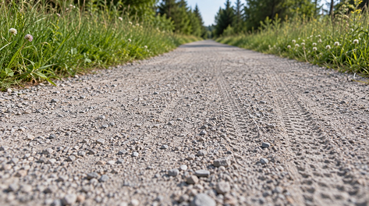
Because it follows a former rail bed, the trail's gradient never exceeds two percent — genuinely flat by trail standards, and manageable for most fitness levels on foot or bike. The surface is rolled stone dust rather than pavement; a hybrid or gravel bike handles it more comfortably than a narrow road-bike tire.
Planning a segment
Pick a stretch, not the whole trail
Most visitors ride or walk a single day's segment rather than the full 273 km. Popular access points cluster near Charlottetown's branch trail and the central section between Hunter River and Mount Stewart. Confirm current seasonal grooming/closure status before planning a specific segment, since winter snowmobile use and spring conditions affect surface readiness.